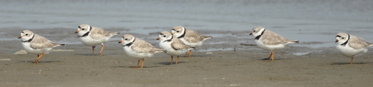

On August ninth, Felicia Sanders, lead Coastal Bird Biologist with SCDNR, sent word that two of the Red Knots tagged with satellite transmitters were headed back south after spending the summer nesting in the Arctic islands of Canada’s far-north. Felicia has been sending updates with maps since early May, when the birds were first captured at Captain Sams Inlet by Felicia’s team of South Carolina and Georgia biologists, supported by shorebird stewards from Kiawah and Seabrook Islands. Three of the 150 captured birds were fitted with the satellite tags that send a GPS location through a satellite link back to the biologists. The third Red Knot was still on its nesting location near Baffin Island as of August 9.
This wonderful map, made by Megan James of SCDNR, shows the flights and nesting locations of the three satellite tagged Red Knots from the May 9 Captain Sams Inlet capture through late July, while they were still on the nesting grounds. As you can see, the orange track is that of (Dark Green MTC, 242656) who has flown 2975 miles since being banded on May 9 and before returning south. The white track is that of the bird, (Lime Green +T9, 242658) who took a detour to Cape Cod and has flown 2910 miles. But notice the yellow track of (Lime Green 5T8, 242657), its zig zag track measures an impressive 4426 miles through the end of July! To understand why, we’ll need to look at the map more closely and factor in some dynamic spring weather.
Back in May, the first transmissions from the tagged knots, showed one, (white track, Lime +T9) had flown to Cape Cod and the other two stayed along the South Carolina coast. Then late on May 22, 2023, the two birds that stayed took off for James Bay, the southern most arm of Hudson Bay. One of the knots, (orange track, Dark Green MTC), flew non-stop and was detected on James Bay on May 25- a distance of about 1500 miles in just over two days!

Both of these Red Knots encountered a strong cold front somewhere north of Lake Huron in Ontario. Dark Green MTC made it through the strong head winds, but the other bird, (yellow track, Lime Green 5T8, 242567), after being buffeted by winds for hours, turned back over North Bay, Ontario on May 24, and flew to Delaware Bay! This reversal would cause it to fly almost 1500 more miles than the other two knots by the end of the summer!

Around May 29, (Lime Green +T9) flew from Cape Cod and arrived at James Bay. About the same time, (Lime Green 5T8) flew from Delaware Bay to join the other Red Knots on James Bay, where they replenished their energy stores. In the first week of June, all three knots flew further north to different locations to breed. Felicia has been able to follow their movements around the nesting ground all summer – something that has been next to impossible to do before satellite tags because Red Knots disperse so widely on very inaccessible islands. Now they are starting their migration back south.
By now, you know about the long distances that Red Knots fly to reach their nesting grounds. This new data from the satellite tagged birds adds so much more detail to that story. For some Red Knots that winter in the southeast US, the trip described here is the bulk of their migration. For others, the journey from here to the Arctic is added to the thousands of miles they have already flown from Tierra del Fuego, South America. As earlier studies have shown, two-thirds of the birds tagged here started to fly directly from South Carolina to the Arctic, but now we see in detail the hardships and formidable endurance required to withstand the weather events that they face. Previous tracking technologies did not work as well in the Arctic to pinpoint nesting locations. Geolocators do not work above the Arctic Circle in 24 hour daylight and nanotags require an extensive network of Motus towers.
The satellite tags will send back data until the birds molt into their winter plumage. With some luck, the tags will stay on long enough to complete the map of these three Red Knots as they return to their winter beaches.
-Photo of Dark Green MTC and maps by permission of Felicia Sanders, SCDNR
-Text & photo of Lime Green 5T8 by Mark Andrews
-Submitted by Mark Andrews, Co-Chair, Seabrook Island Birders Shorebird Stewards

